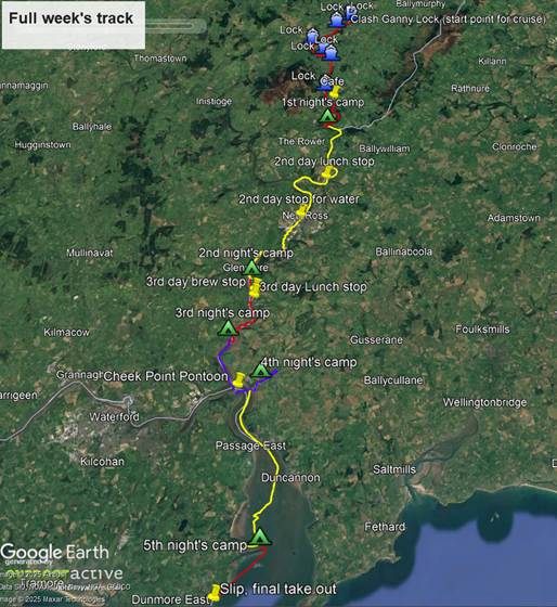
If just going down the Barrow, it would be better to plan your trip for a week when the tide is high early and late in the day so as to be able to access the bank to camp more easily and to have the river flow with you rather than against you during the late morning/early afternoon. I did not do this because my original plan for the week was to go down the Barrow and back up the river Suir, and it would not have been possible to have the tide in our favour during the day for both of these legs. In the event we cut the trip short and only did the river Barrow.
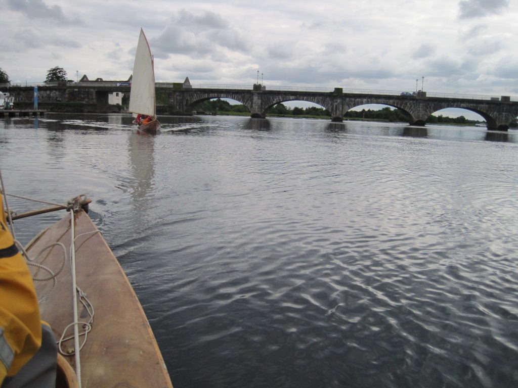
The first day of the trip below Clashganney Lock was on the canalised river, so tidal levels were not a problem. The river is quite narrow, and the banks are covered with trees so paddling rather than sailing is the best way to make progress. Below the junction where the river Nore joins the Barrow, the river broadens out and becomes more open and by the time you leave New Ross its width is significant, and the flow of the tide is quite strong.
The Campile river, a small and shallow tributary entering the river near Cheek Point which runs through fields to a ruined Abbey is well worth exploring, then below Ballyhack/Passage East the combined rivers Suir and Barrow form a huge estuary like a small inland sea.
Day 1 21/08/2022 9.8 miles
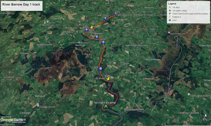
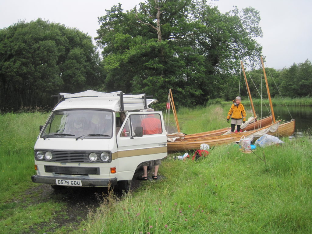
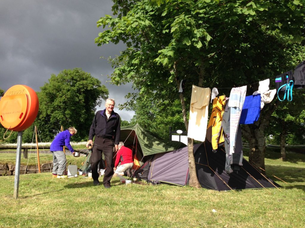
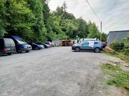
It was fine and sunny. We drove from our overnight campsite at Moneynamough around the South end of Blackstairs Mountain to Clashganny Lock for 9.45am. The small carpark is obviously very popular with anglers and paddleboarders. It was quite busy, even at this early hour. That has the benefit that it supports a small coffee stall!
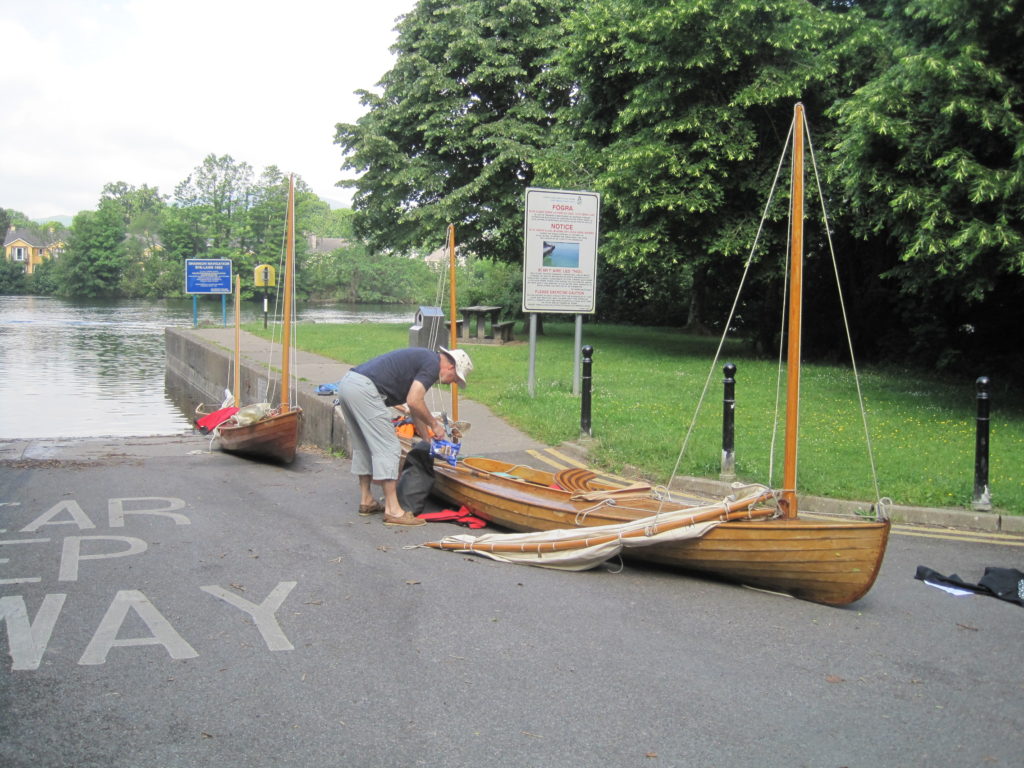
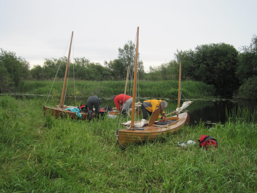
We unloaded the canoes from the campervan and set about the two-hour process of packing them. Fortified by coffee and croissants we set off, paddling under a low bridge and out into the main river
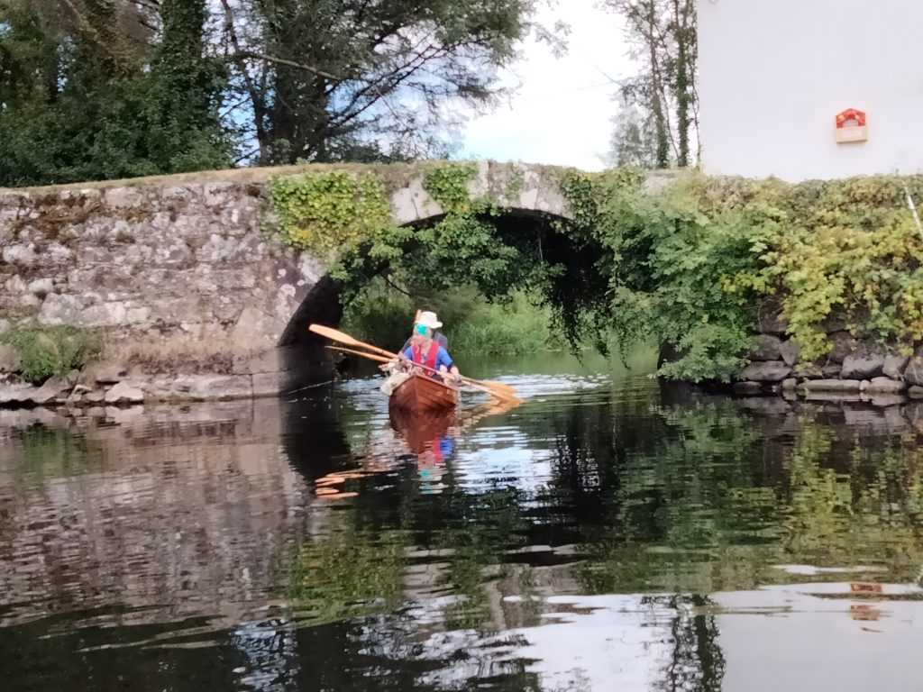
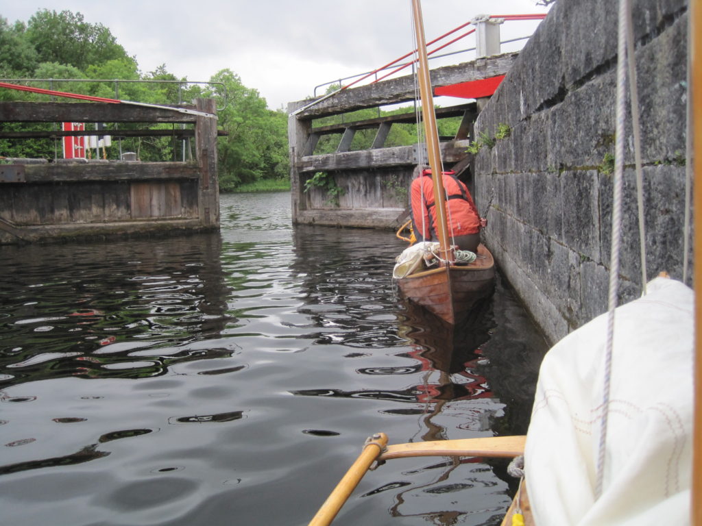
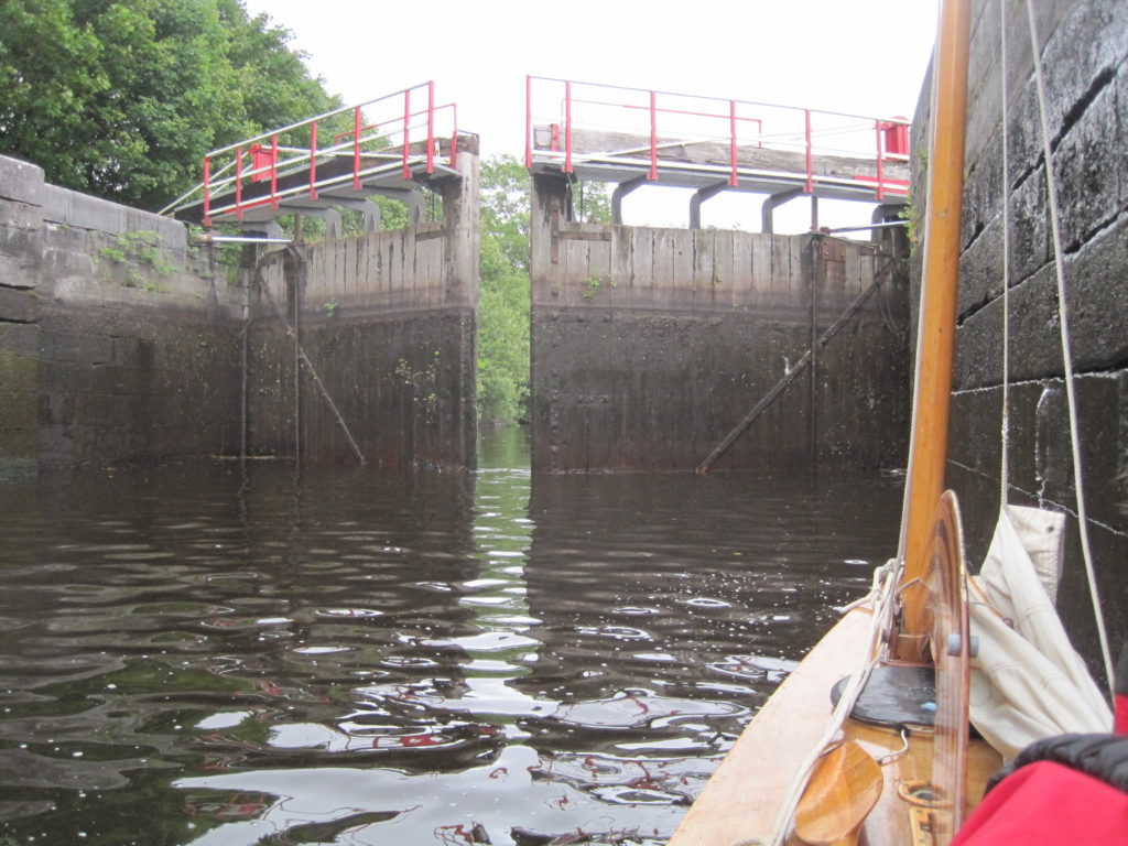
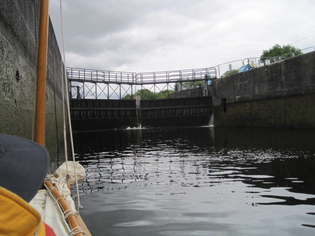
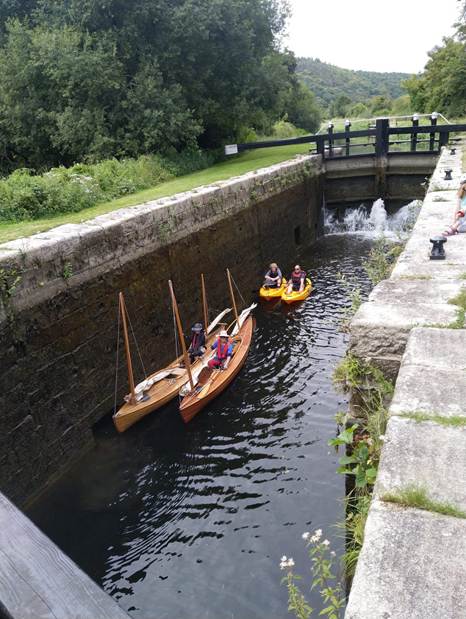
The river was narrow and surprisingly shallow here. It’s hard to believe any large boats could make it through. A short distance down river brought us to a side channel on the left bank, leading to the first lock. I had never worked a lock on my own before and so was glad to see that the top gates were open and the leader of another canoe trip was standing there waiting for us to paddle in, with a windlass handle in his hand. He gave me very useful instructions regarding the sequence of opening and closing the sluices. The short throw, lightweight, aluminium windlass handle that I had purchased for the trip, did work but required a massive initial turning effort to free the sluices.
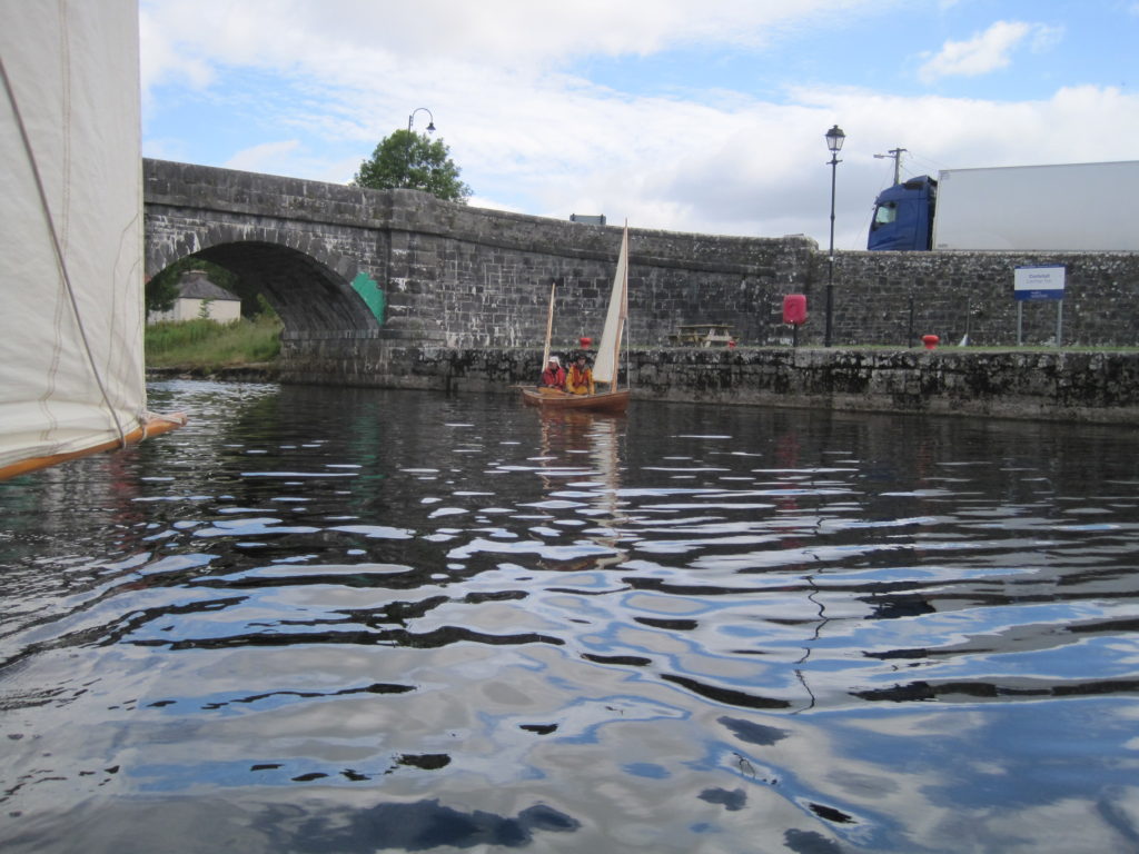
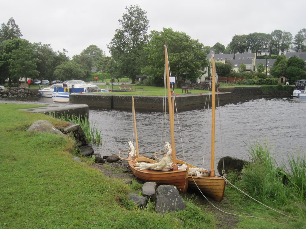
We paddled on down to Graiguenamanagh, a picturesque town with a fine stone bridge and a Super-value which was open even on a Sunday! Tourists and artists were busy in the street along the riverside. Some people were swimming in the river. We stopped and bought some last-minute items like cheese and milk.
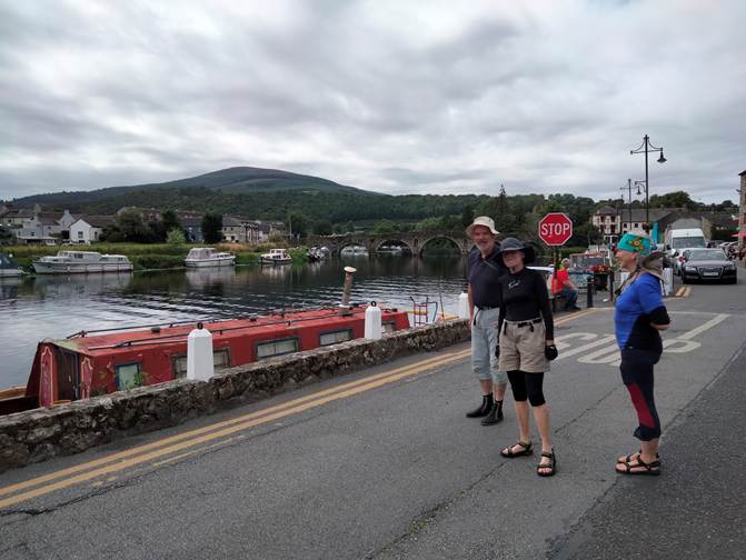
We went on under the stone multi-arched bridge (best water depth is under the second arch from the Southeast end) and along the top of the weir to the next lock gate. Here we were helped to work the gates by an older couple from a nearby narrow boat, who said that the river was at a very low level this summer.
The next two locks were spaced apart by less than a mile. We overtook a man and his young son paddling in two short plastic canoes. We waited for them at the next lock.
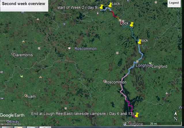
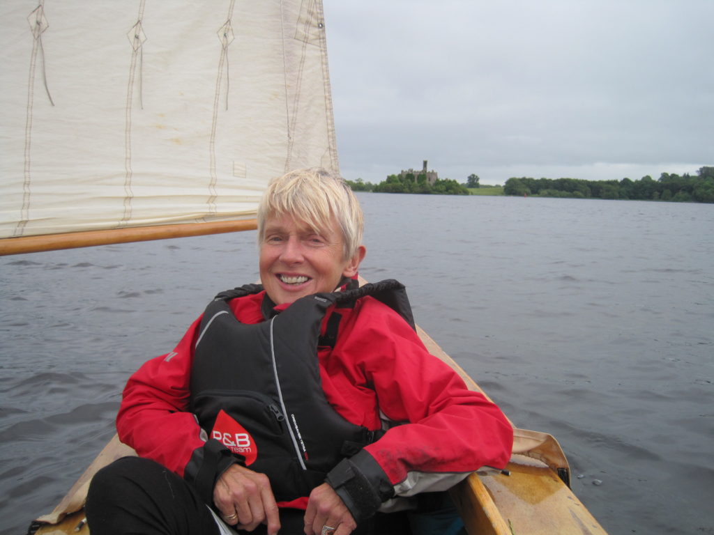
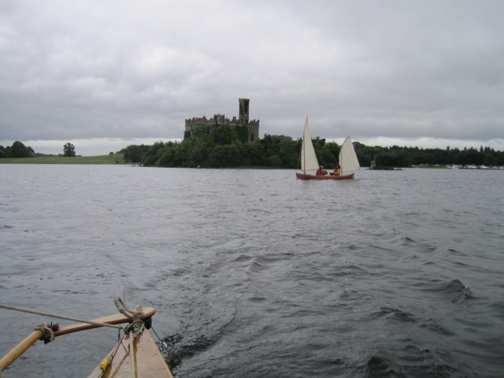
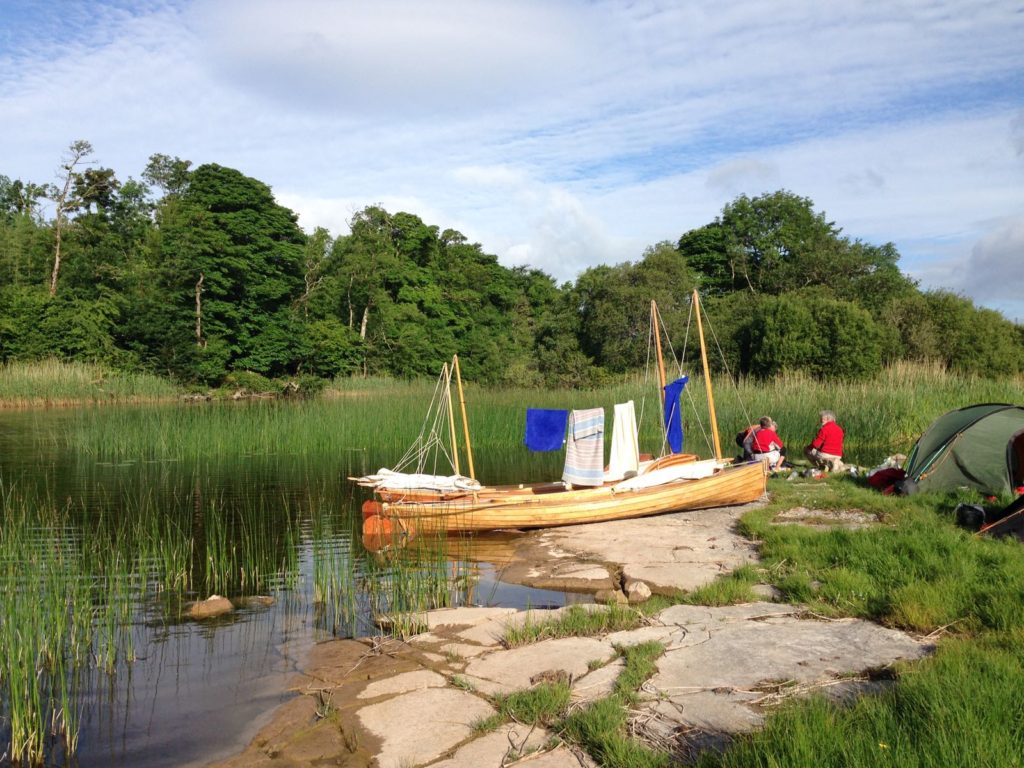
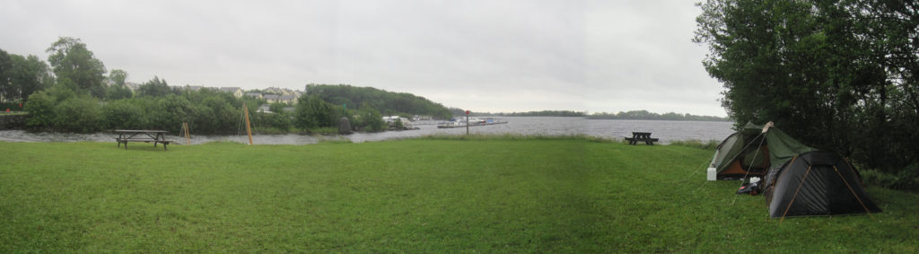
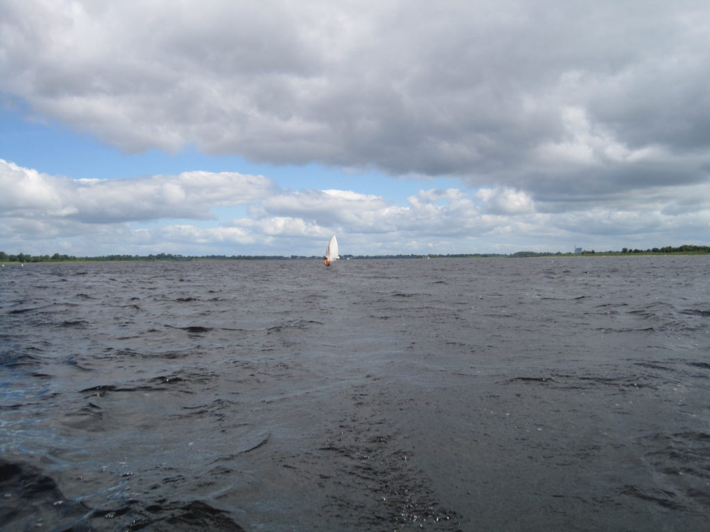
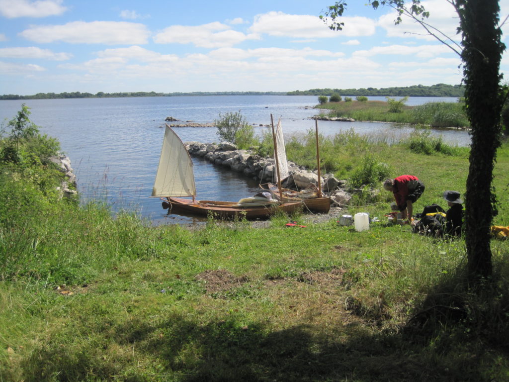
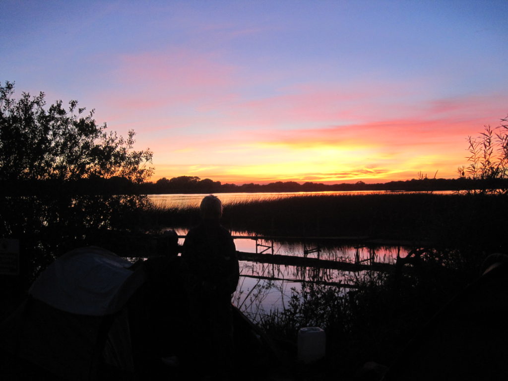
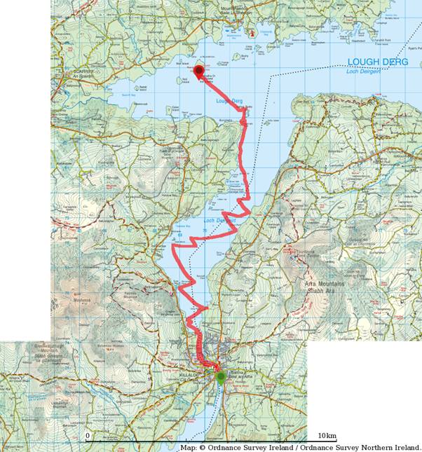
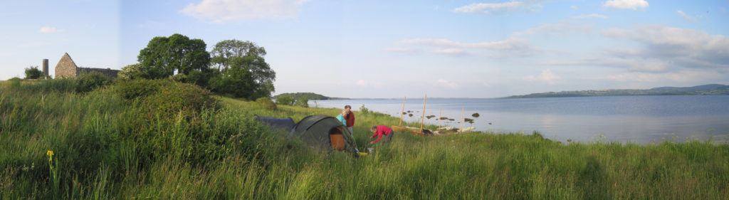
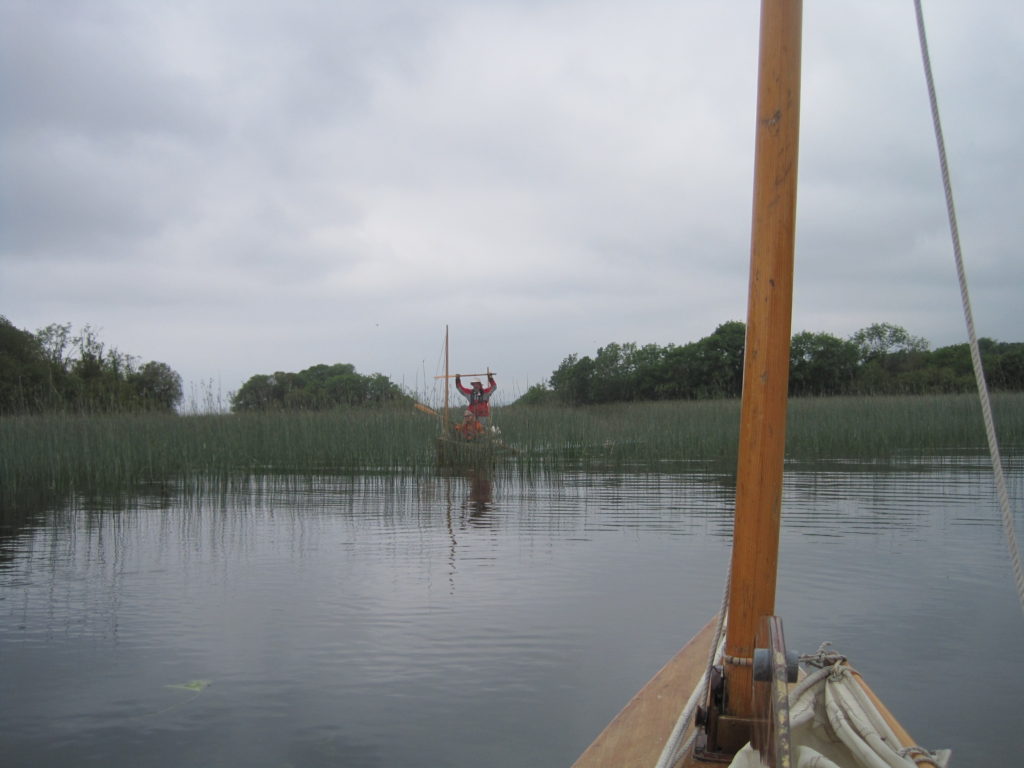
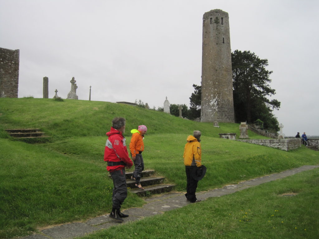
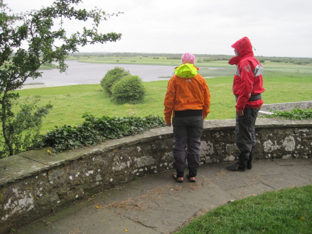
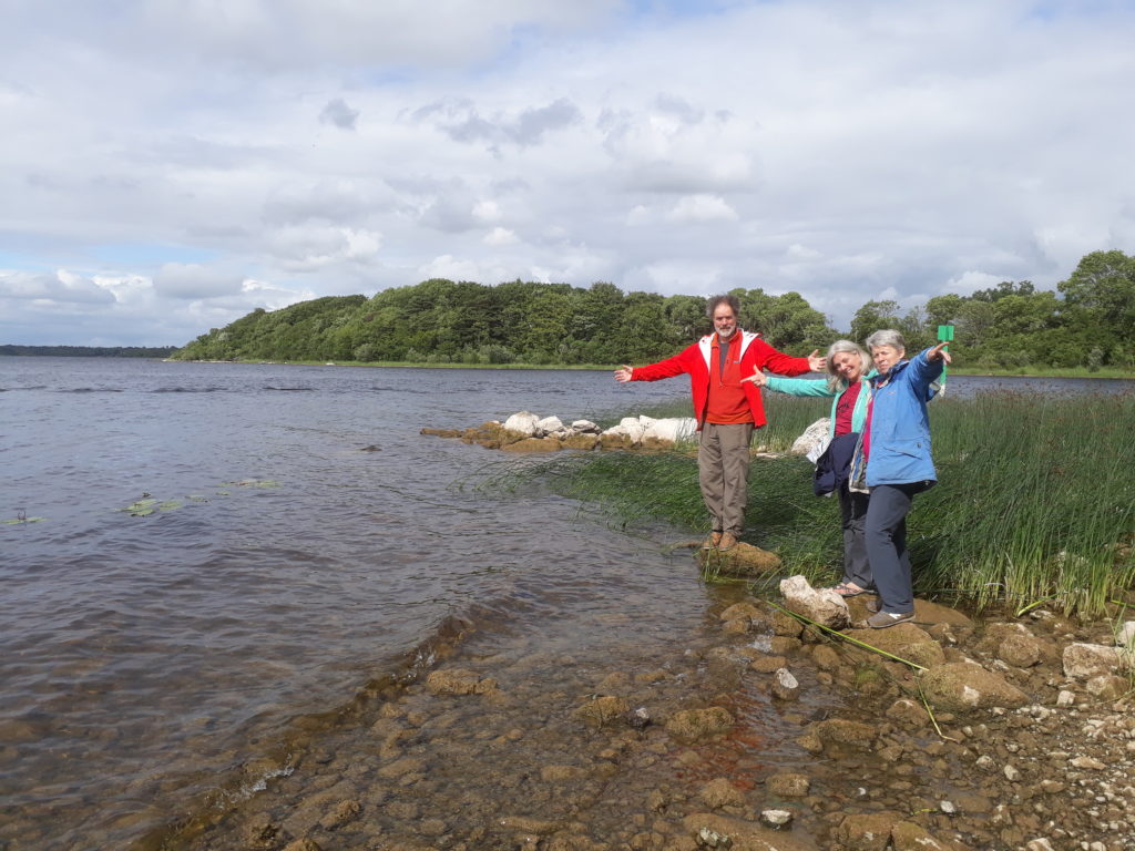
After lunch, we tacked on up the Lough until the wind died about 5pm. We paddled on along the shore to where the Lough opens out to the West. Most of the coastline here is covered by reeds and overhanging trees so is not suitable for camping. We decided to paddle over to Holy Island which looked green and a possible good camping spot now that the daily visitors would have gone home. We camped about 7.15pm in the grass which was very long despite the efforts of the sheep on the island.
Downstream of the second lock, a motor cruiser was having trouble getting from the lock side channel back into the main river due to the lack of water depth. We stopped on some staging just below the lock to have some lunch whilst they got themselves sorted out.
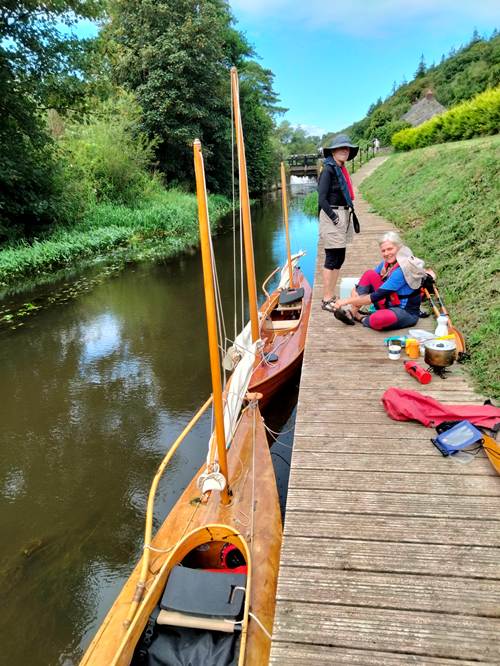
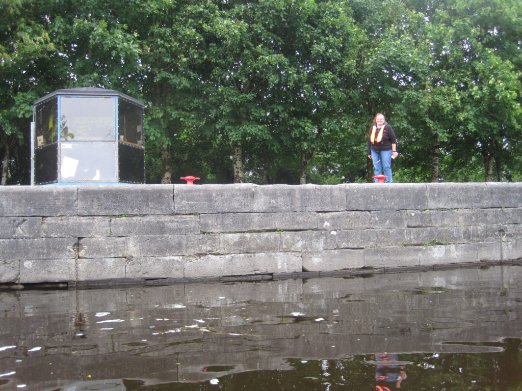
The afternoon was wearing on but a final push for a couple of miles took us to the last lock. Barbara and Pat worked the sluices using our short handle, forswearing any help offered by the male onlookers.
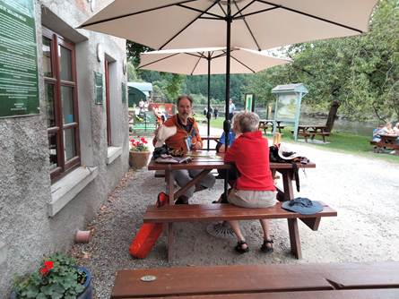
Round on the main river, we soon came to St Mullins and its busy café. Despite it now being 5pm, they were still open and taking orders (the café closes at 6pm).
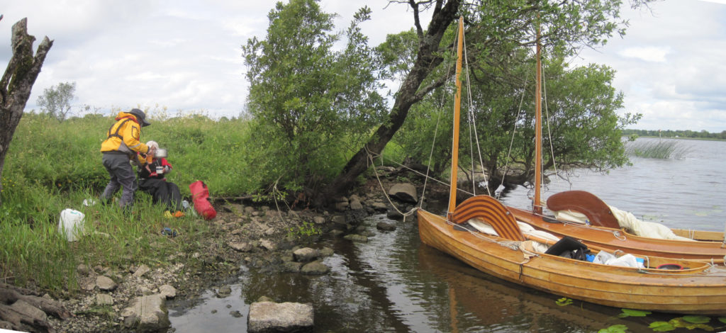
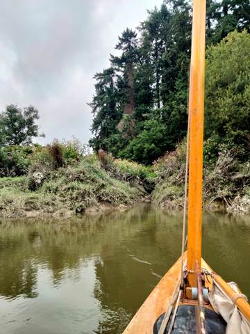
For the 2 miles below St Mullins, the banks of the river are steep and wooded, offering no camping possibilities at all. I had identified an area of flat field on a big U bend as the first likely spot, but even so, as it was now low tide, there seemed to be only one possible way of actually getting ashore.
This was provided by a deep field drainage ditch with rocks in the bottom which allowed us to get all our camping gear to where the muddy banks were firm enough to climb up.
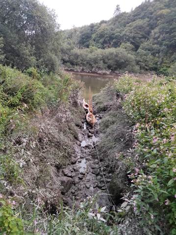
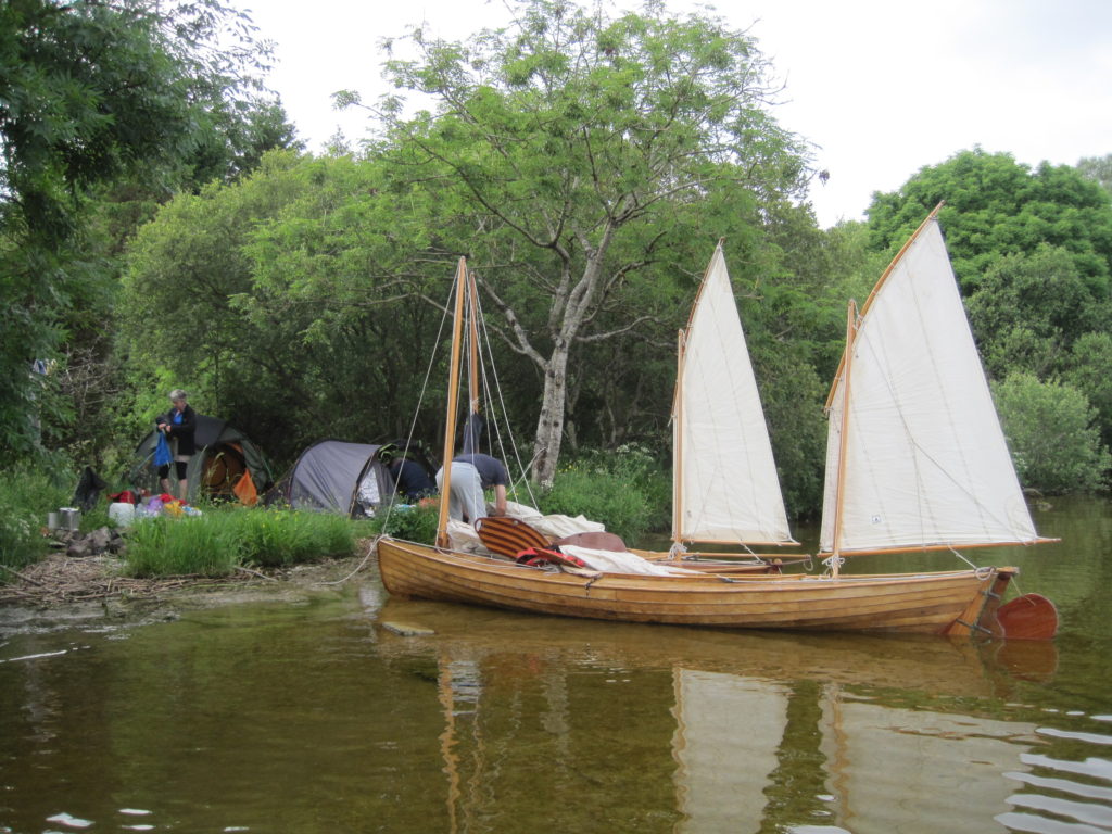
Others had obviously exploited this possibility in the past as there was an old stone campfire ring and two cleared pitches suitable for our tents.
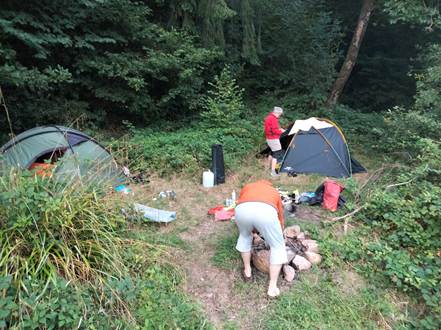
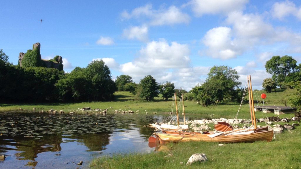
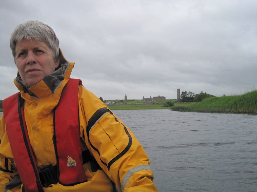
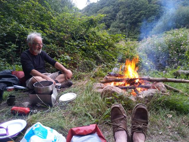
After having arrived rather late (about 7.30pm) and having had a long and muddy unloading session, we had a meal of risotto and a fine campfire. The top of a ruined atone tower could be seen sticking above the trees on the opposite bank.
Later rain fell heavily on the tent, in a rather satisfying way, as it only started just after we had gone to bed.
Day 2 22/08/2022 14 miles
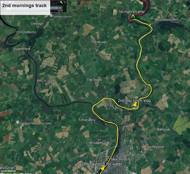
It was difficult re-packing in the deep, narrow, muddy, ditch where you couldn’t easily stand next to the canoes. We also then had to wait for sufficient rise of tide, from low water, in order to refloat them and get them back into the main river, hence we did not get away until 11.30am.
About half a mile down river we explored a small side stream on the left-hand bank for a short distance. It was attractive but would not have provided any better camping possibilities than where we had stopped. The riverbanks all the way down to the junction where the Nore river joins the Barrow are either steep soft mud slopes or bund/seawall with very thick vegetation.
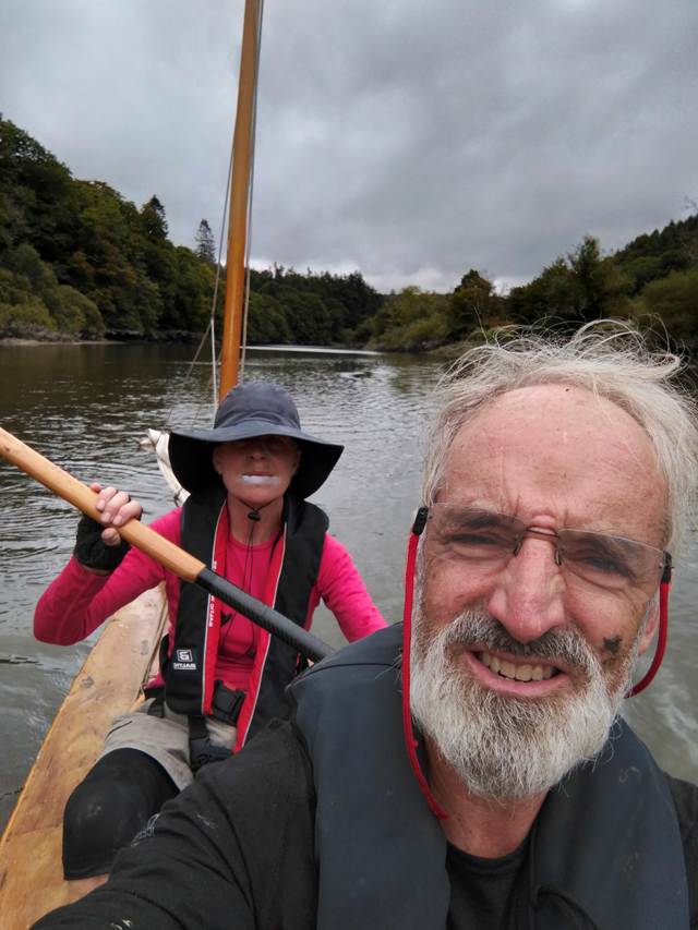
We had a long tedious paddle against the gently incoming tide but finally found a place to stop for lunch up and over the heavily overgrown bund wall on the right bank just above the lattice road bridge on the R700. At lunch in the field behind the bund it was incredibly hot and windless. Barbara worried about the degree of sun exposure on her sun-damaged lower lip.
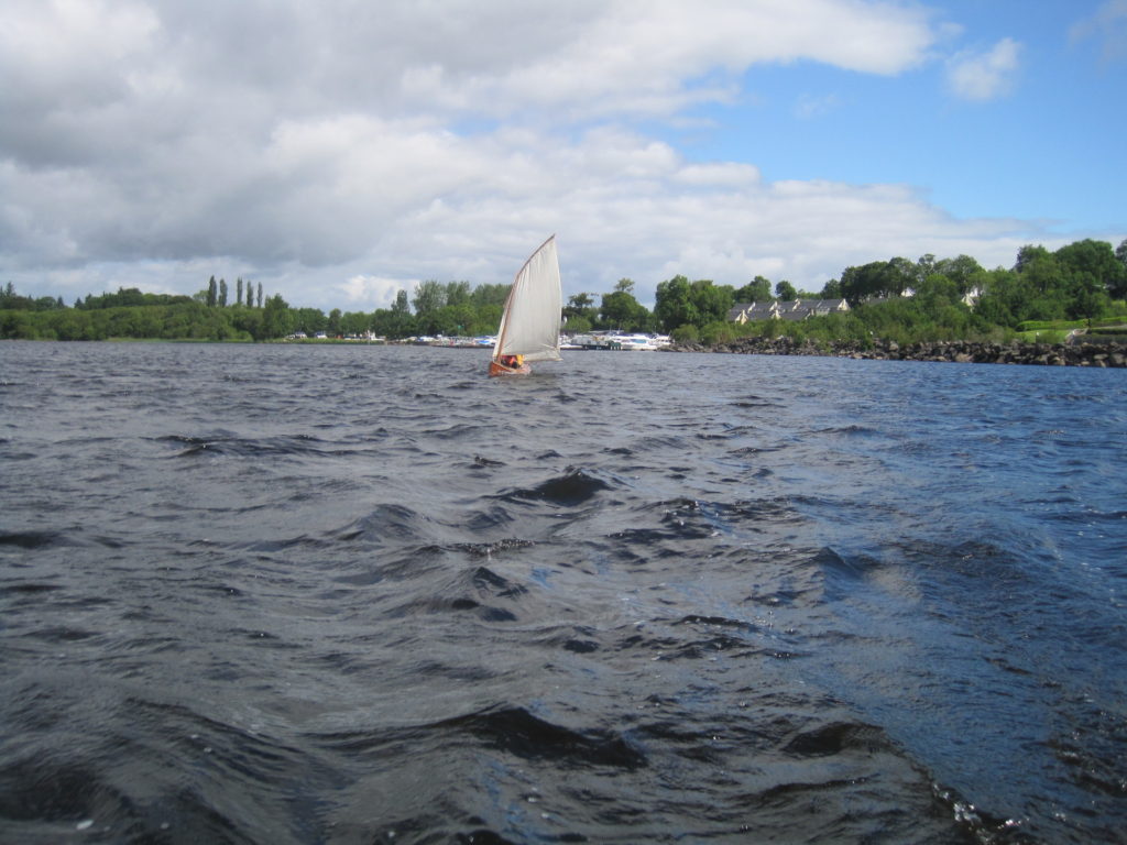
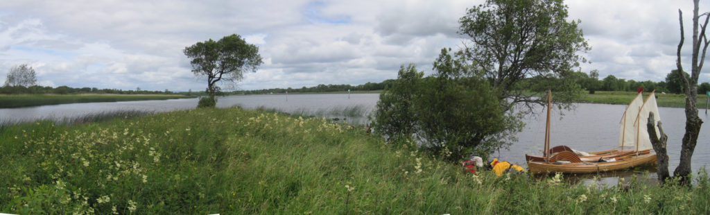
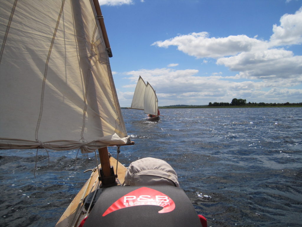
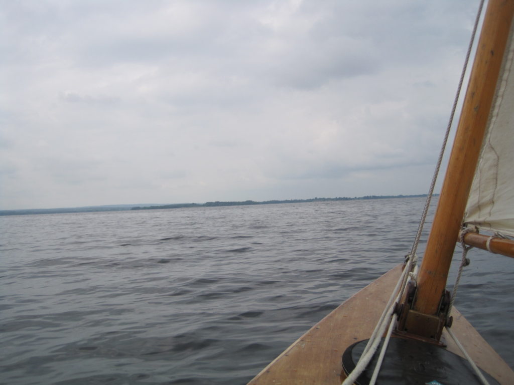
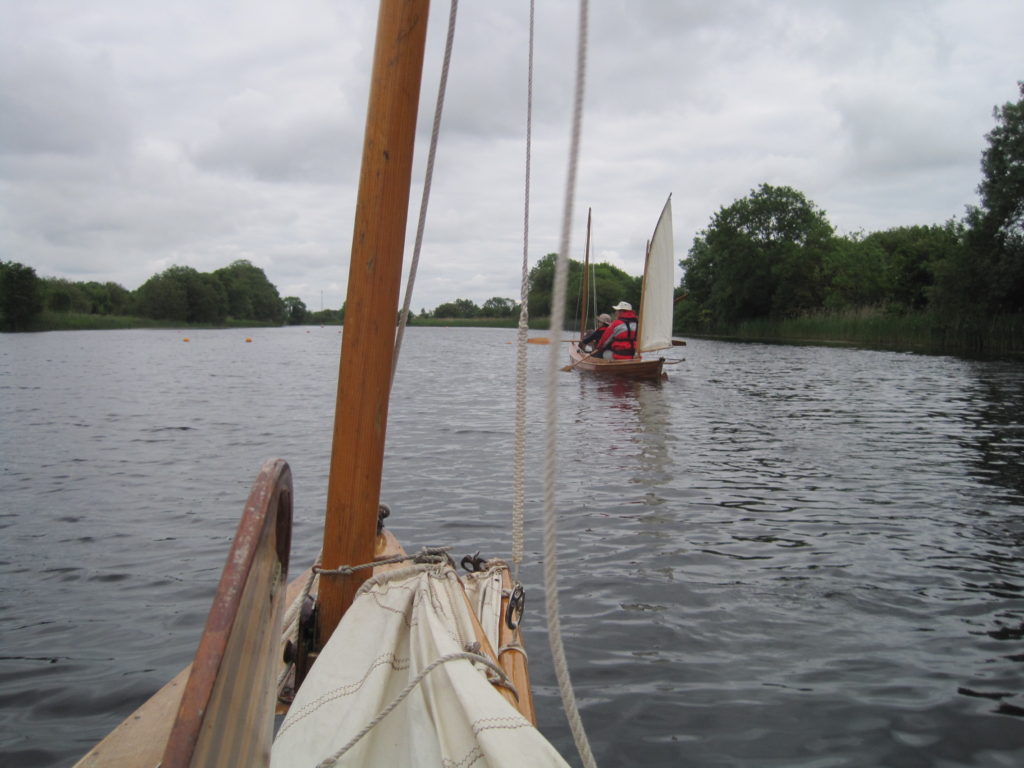
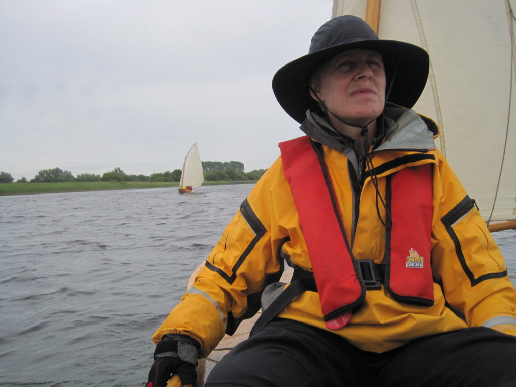
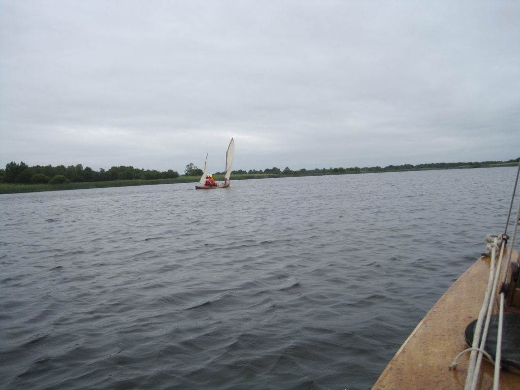
At the junction of the two rivers, the Nore appears equally wide, if not wider than the Barrow. Below this the character of the river changes, now flowing through flatter agricultural land, some of which has a level river frontage with no flood protecting earth bund. A slight wind from the NW tempted us to hoist the sails for the first time on this trip.
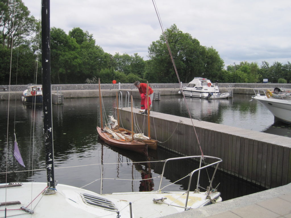
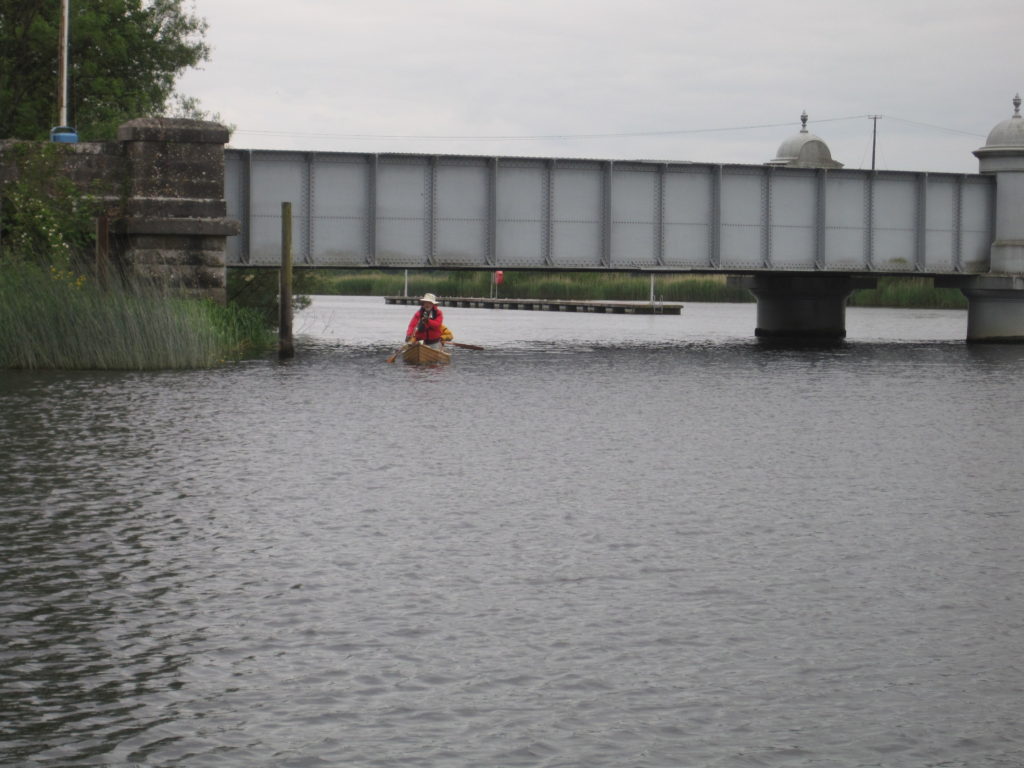
For about an hour we had a gentle glide along under the old railway bridge and down to the bend just above New Ross. Here the wind swung round to dead ahead and so we reverted to the paddles to reach the marina pontoons on the left bank just below the town. Here we stopped to refill one of our two 10 litre water containers and chat to a couple living aboard a small cruising boat.
We were all rather tired after 10miles of, mainly, paddling. Barbara suggested a night in a hotel, but New Ross seemed an uninspiring place and getting back in through the locked gates of the marina would have presented a bit of a problem.
The tide had now turned and so, although it was already quite late, we decided to sail on down river and find a campsite. Just as we were about to start you could see a strange line on the water not far downstream. Before we could work out what it was, a heavy rain squall hit us and further delayed our departure.
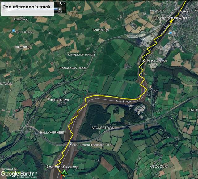
Tacking against a force 3 SSW wind but with increasing tidal help from the ebb brought us to the first of the possible campsites on the righthand (North) bank, just before a sharp bend to the South. This appeared too muddy. We considered going under a small arched bridge below the road on that side, but it seemed to be choked up with reeds.
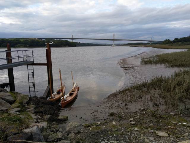
Another mile brought us to the big new, cable stayed, concrete road bridge. It was now after 7pm and we were feeling desperate to find a campsite. Just below the bridge on the right-hand bank there was a concrete platform with a streetlight, which might have been OK as a campsite, but felt rather noisy and not at all remote. It was also unclear how or where we might moor the canoes.
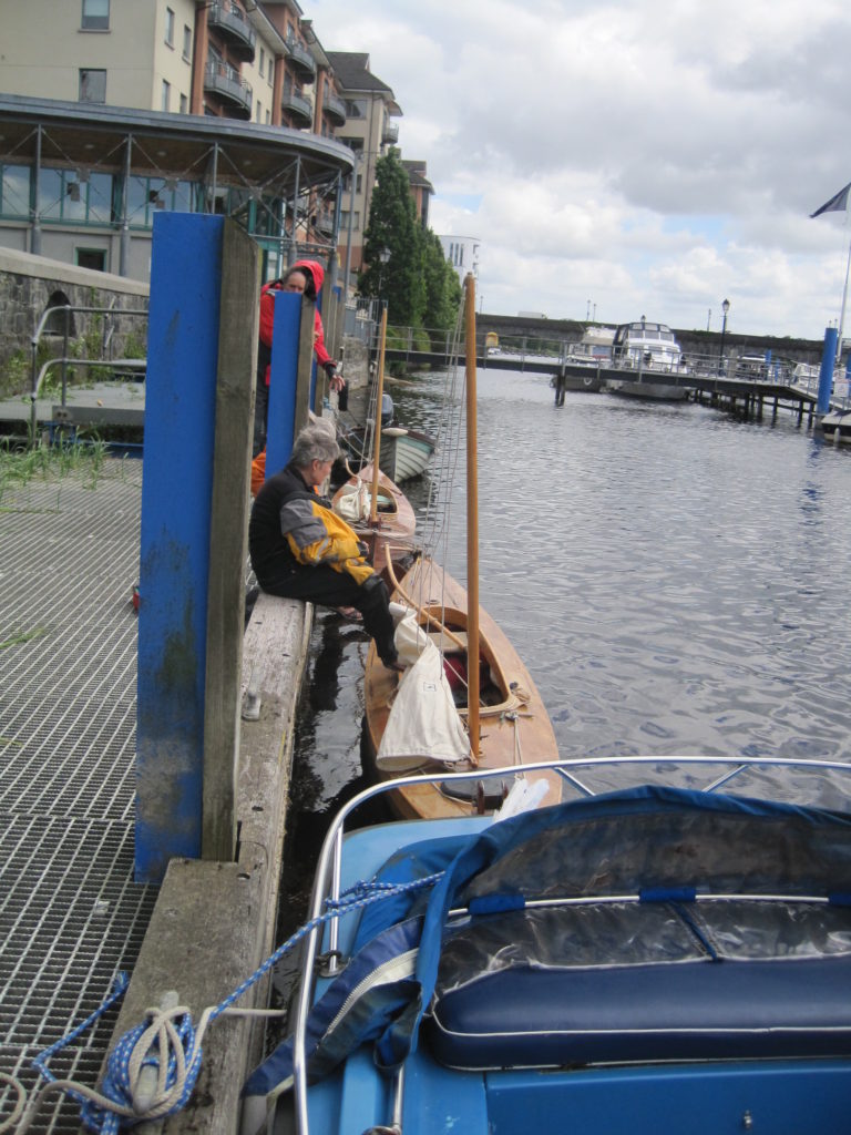
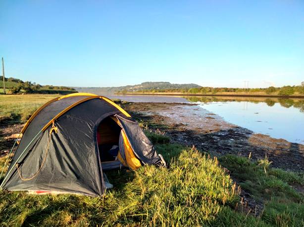
The only remaining option was an area of compacted hardcore behind a projecting steel walkway and ladder on the left bank further downstream. There was a small “hook” in the bank formed by this feature in which the canoes might lie moored to the ironwork of the walkway up which we might be able to climb when unloading the camping gear and hence avoid most of the mud.
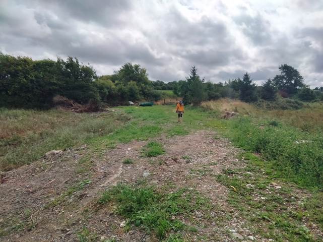
On the downside the area of hardstanding on which we might camp was very stoney and, whilst not directly overlooked, was at the end of a farm track and not too far from some farm buildings. We made the best of it and camped.
Day 3 23/08/2022 6.1 miles
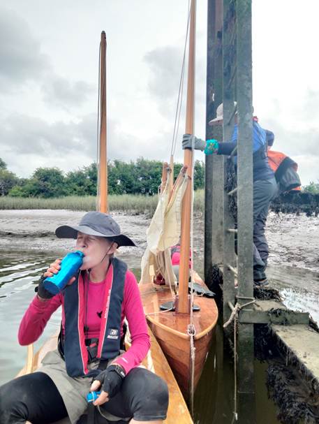
The tide was low at about 9.30am. The canoes hung up by their bow lines, which we had made too short to allow for the tidal fall, were at a steep angle with only their sterns in the water. They had flopped over sideways against the vertical pile of the jetty. We managed to free them off to slide down into the water and moved them round to the end face of the jetty where a lower beam at the foot of the ladder was now exposed. Passing all the stuff down and loading them was a slow and painstaking operation, but we were in no rush as the tide was coming in strongly against us and there was no wind at all.
It was felt that the previous day had been too long and arduous for us, now in our 60s. We thought that we should let ourselves off a bit and so planned a shorter one, thinking to wait out the worst of the foul tide at a suitable stop.
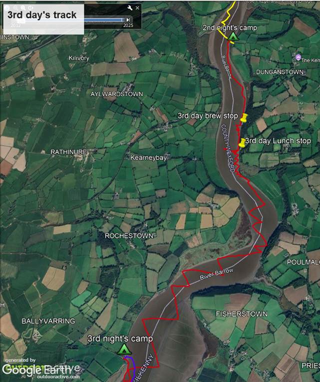
We paddled down river for about half a mile and found a ruined timber stage with a narrow concrete walkway, perhaps cast over some outfall pipe, leading out into the river. Given the lack of suitable places to stop on this trip, so far, we fell upon it and stopped for a cup of tea in the sun.
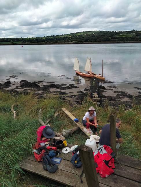
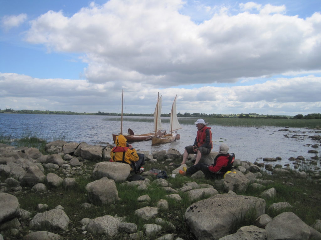
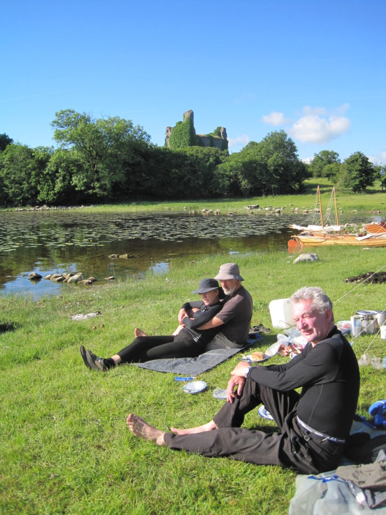
Paddling on down a further mile we came to a stonewalled square of quay with a grassy top and a limekiln behind it. The tide was now near its strongest and, although a light wind has sprung up from ahead, Barbara and I proved by doing a trial tack that no significant progress could be made under sail, so we stopped for an extended lunch break.
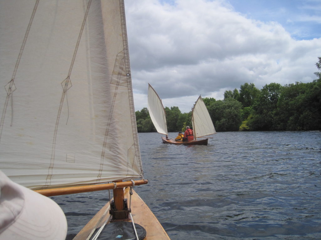
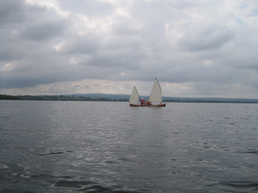
After lunch the tide had begun to slacken off, so we tacked on down river against a force 2-3 South wind with progress gradually improving as the river opened out into a wide reach with shallows stretching a long way from the lefthand bank.
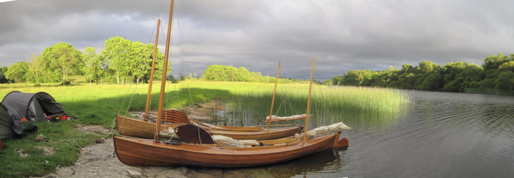
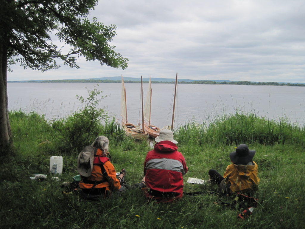
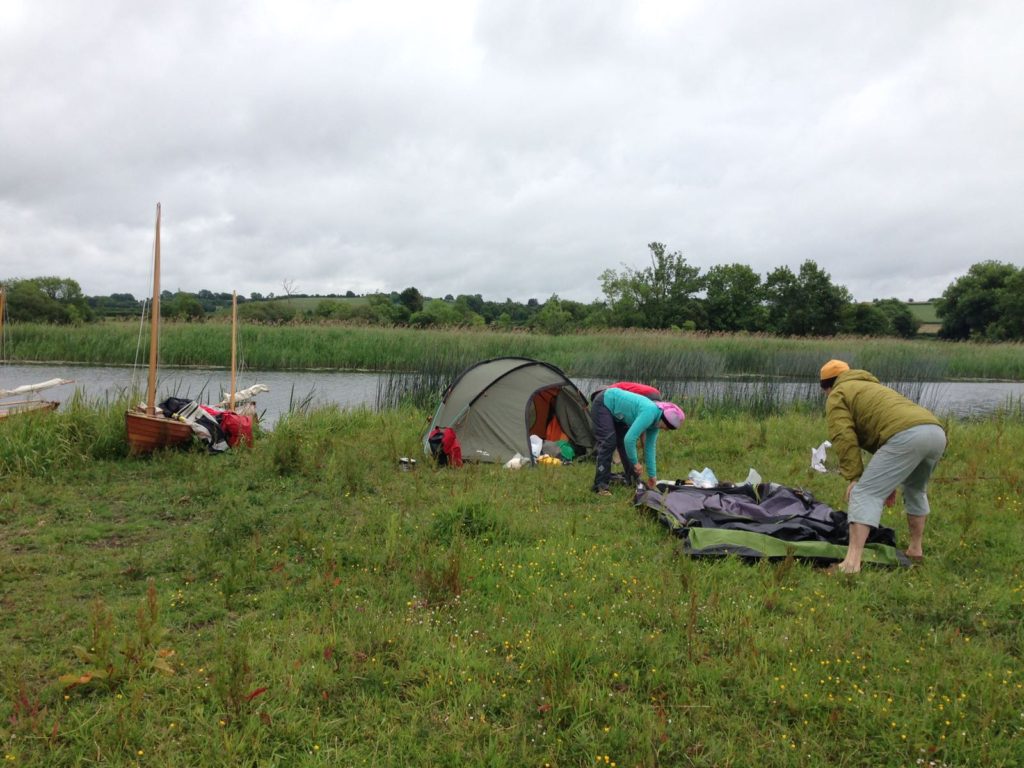
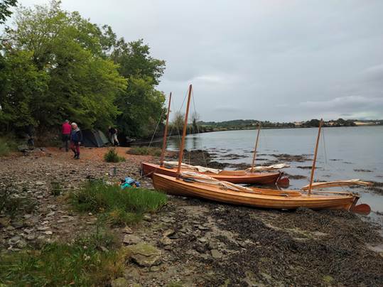
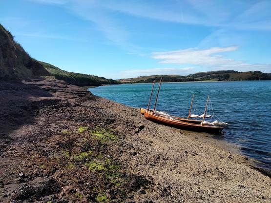
Here William and Pat decided to stop on a beach below some trees on the West side. Barbara and I who were ahead at this point, went back to join them and it seemed like a nice remote spot, so we decided to stop for the night at the much earlier time of 5pm having done only 6.1miles through the water and perhaps only 3 or 4 miles as the crow flies.
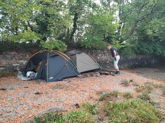
William completed significant Civil engineering groundworks in order to build up a level platform of grit for the two tents on the beach.
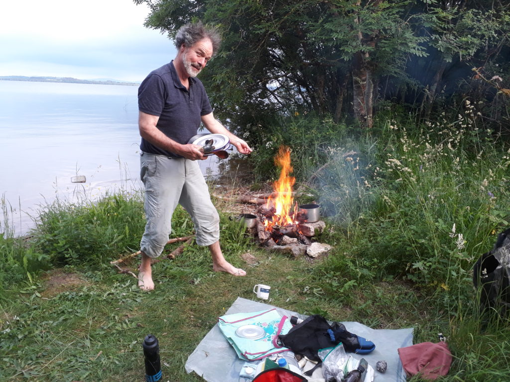
We had a visit from a nice old man in a black rowing boat who had seen the canoes sailing down river and was intrigued. His own boat, which was long and thin with a small bow transom, looked like a timber version of an Irish Currach. He said that it was a replica of the traditional salmon fishing craft that had used purse seine nets on the river. He also pointed out that firewood tended to accumulate just around the point downstream of us. Consequently, we had a good fire on the beach that night until the rain came. Once again, it was very considerate and allowed us to finish our evening meal before it started raining.
Day 4 24/08/2022 6.5 miles
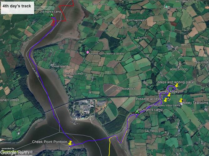
The day dawned fine and dry but with no wind. We started paddling by 10am in order to make use of the last of the ebb tide to take us down to the harbour at Cheek Point before low water predicted there at 11am.
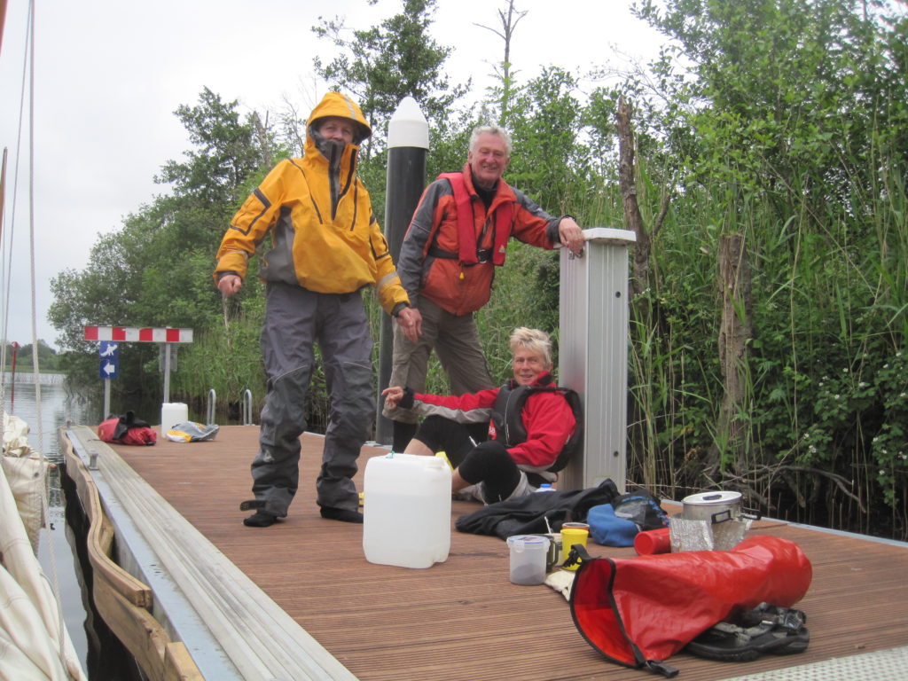
The harbour was hidden behind a huge mudbank and was pretty much dried out. However, fortunately, they had just installed a new concrete pontoon which was still afloat.
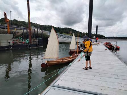
We were literally the first people to use it. The workmen either just took pity on us and so didn’t turn us away when we approached, or more likely they were intrigued and wanted to ask about the canoes. This then caused a problem when we wanted to go ashore to explore and to fill up our water containers as the floor decking at the top of the walkway bridge leading up from the pontoon had not yet been completed. William had already gone off to fill up the containers before this was pointed out to us and so got stuck on the land side of this health and safety nightmare, unaware. He managed to extract himself by just ignoring the problem altogether and walking back across the bare supporting steelwork under the direct gaze of the workmen!
The flood tide had begun but was still not too strong so we paddled across to the entrance of the Campile river
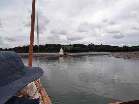
and allowed ourselves to be carried up it by the incoming tide.
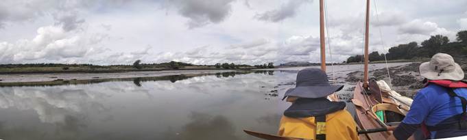
The Campile river is a very beautiful and remote feeling place, with a fine ruined abbey and would have been wonderful except for the constant beeping from the safety reversing alarms on the large machines manipulating a huge pile of woodchip on the North bank near the entrance. The machines work all day to feed the adjacent power station with fuel.
We inspected various possible campsites on the way upstream and selected one on the South side to return to later when the water level would be a bit higher and hence make it easier to unload the canoes.
We had in mind to go and visit the ruined abbey, and my hope had been to berth the canoes in a small creek just downstream of the abbey whilst we went ashore, but there proved to be too little water in it. So we went on upstream as far as a road bridge where some considerate person had provided a landing stage and a set of steps.
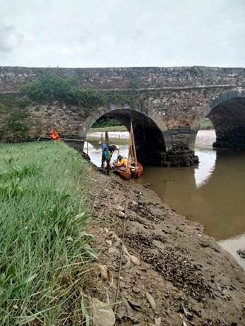
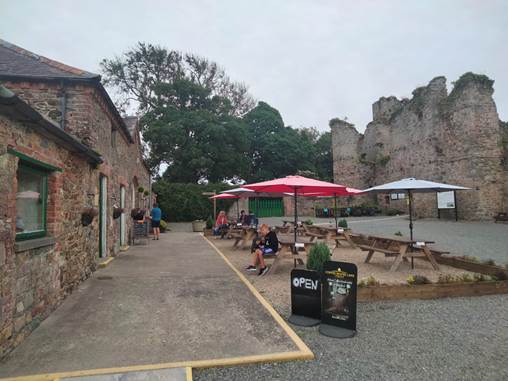
We spent some time mooring the canoes with a long bow line to ensure that they did not get swept upstream by the tidal flow and jammed under the arch of the bridge as the level rose, then walked to the abbey tearooms for lunch.
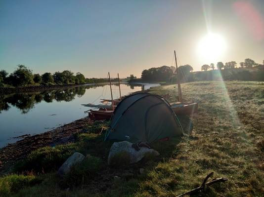
Another gentle day with just a short afternoon paddle for half a mile back to our chosen camping stop, then a pleasant swim in the river near high water and a nice meal and a fire in the evening.
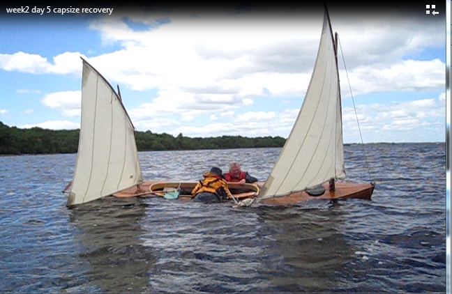
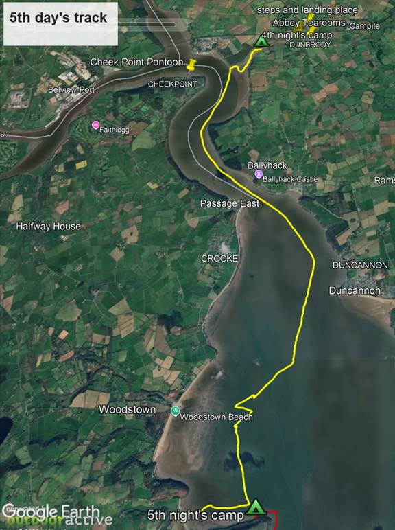
Day 5 25/08/2022 9.4 miles
Barbara announced in the night that she felt she could not go on and wanted to go home immediately. She was not managing to sleep at nights as a result of worrying about the sun and her lower lip. In the morning William and Pat were understanding and prepared to cut the trip short. There was however nowhere nearby to get the canoes out. I also felt that, even if we could find somewhere to get the canoes out, it might not be feasible to fit in getting back to our van and car by taxi, driving back, picking the canoes up and heading for a rescheduled ferry crossing, all in the same day. Pat researched possible Air B&B accommodation on her phone, with the idea of stopping somewhere comfortable for a night and retrieving the vehicles on the following day. There seemed to be no suitable places nearby for all 4 of us. In the end Barbara agreed to do one more night of camping, we would abandon the plan of canoeing up the river Suir to Waterford and instead take the canoes out at Dunmore East.
It was a fine but still morning. We set of by about 9.30am in order to make the most of the ebb tide. A seal launch of the pre-loaded canoes down the mud bank worked well and we paddled back out into the main river.
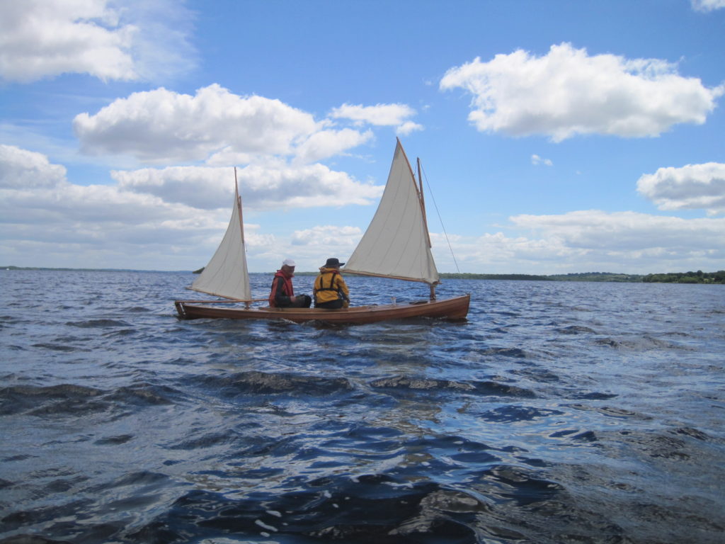
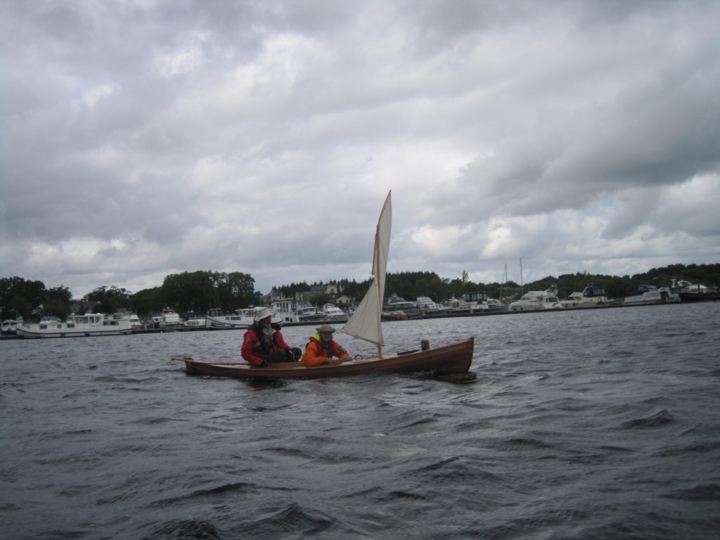
Progress was surprisingly good with a strong tide flowing to carry us through the narrows at Ballyhack/Passage East where William and I had once anchored in Diana 28 years before. The initial plan was to wait out the worst of the flood tide at Duncannon and cross over to camp on the beach on the West shore later in the afternoon, but we had reached Duncannon so early that the tide had not yet set against us. So we decided to continue on and try to cross over immediately. Shortly after this a nice breeze sprang up from the South and we were easily able to tack across to the West shore and work down it in the shallows against minimal tide.
As we approached Creaden Head the wind strengthened to force 3 or more and veered round to SW. Pat sailing the new canoe coped very well with this. In the protected flat water under the shelter of the headland we tacked and headed in to the beach.
Unfortunately, the bottom, which is a mixture of sand and mud here, shelves at a very shallow angle so we ended up having to get out of the canoes and leave them anchored off, a long way out. Every 15 minutes someone needed to wade all the way back out to them and move the anchor further inshore.
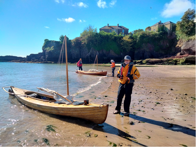
We had lunch on the beach. It was nice, but a bit public for camping, overlooked by a large house on the hill and with a “no camping” sign. We did not feel completely comfortable with the idea of staying for the night.
One remaining option was to investigate the possibility of camping near the outer end of Creaden Head. William and I had anchored there in Diana and remembered that it had been possible to get ashore in the dinghy and go for a walk up on the headland, but there might not be a suitable spot to set up tents. We waded back out to the canoes and sailed over to investigate. I had in mind mooring the canoes off with a long rope so as to lie in a small gash in the North face of the headland but unfortunately this was not totally sheltered from the current wind direction and it was forecast to blow even more from the NW the next morning.
On inspection, we noticed that above the area of sloping rock on which it was possible to land, there were two horizontal ledges just above the high tide line, each capable of taking a canoe, if we could only manage to lift then up high enough.
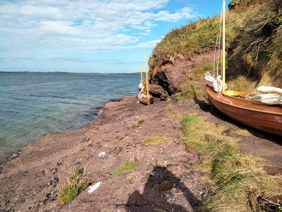
Scrambling up the steep path we came to a place with a gravel recess just beyond a gate which, although rather limited, was big enough for the two tents. We struggled up the steep path with all the camping gear and heaved the canoes onto the two rock shelves.
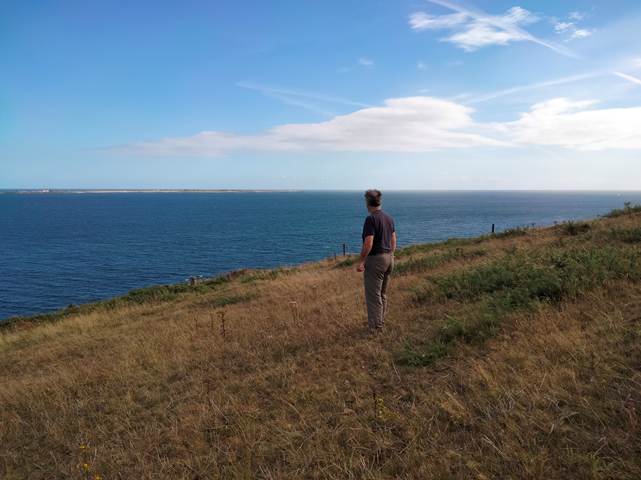
After a bit of a scare when a dog belonging to someone walking unseen in the fields above discovered our camp and would not leave, we got settled in. Later, we had a nice walk ourselves up to the end of the headland from which we could see Dunmore East, our destination for the final day and the open sea beyond.
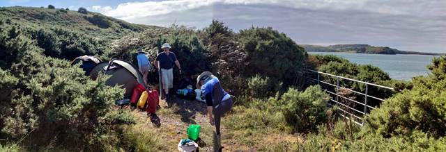
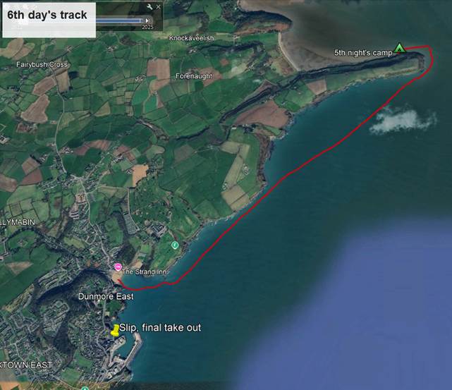
Day 6 26/08/2022 3.3 miles
The idea was to start early so as to be able to set off from our exposed rock launching point during the morning calm that we had been experiencing each day and before the forecast wind from the NW set in , but unfortunately, the persistent high pressure system seemed to have declined and so the wind did not stop blowing at all during the night. Bu the time we had struck camp. Packed the canoes and were ready to launch, it was about 9.30am. The wind was blowing fairly strongly, perhaps Force 3, directly onto the rocks and the sea state just off the headland was very agitated, with short steep waves of the kind set up by strong and conflicting tidal flows.
We had packed the canoes whilst still in their positions on the rock ledges and so now had to carry them the short distance down to the sloping rock launching area fully loaded. The tidal height was ideal for launching off the sloping rocks, but the waves were rather intimidating. We set only the small mizzen sails on their short masts, but set in the alternate forward positions, just in front of the centreboard case.
Having launched successfully, the trickiest operation was to gybe round onto Starboard tack in order to head South past the end of the headland, without capsizing in the chaotic waves.
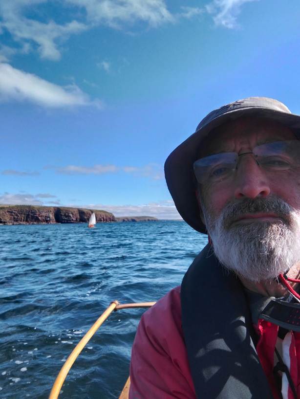
Once round the head we had relatively smooth water, although there were some unpredictable gusts and downdraughts on the 3-mile dead run to Dunmore East.